The Mighty Mississippi (LA/MS/TN/MO), USA
created 2024-05-07T17:22:19+00:00 • updated 2026-07-05T14:18:26+00:00
15 photos • back to albums
15 photos • back to albums
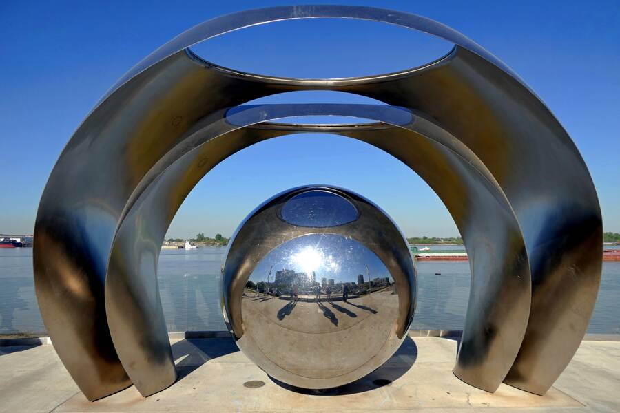
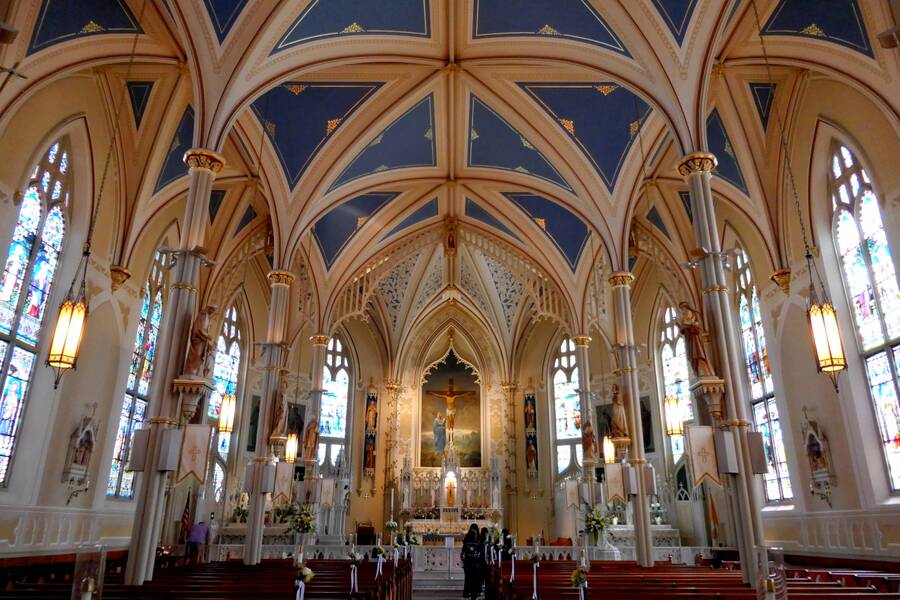
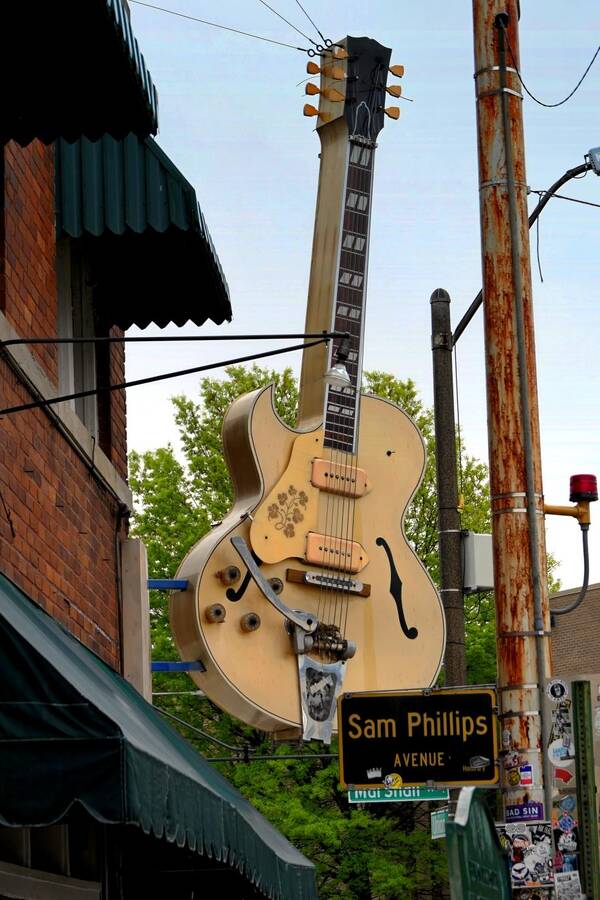
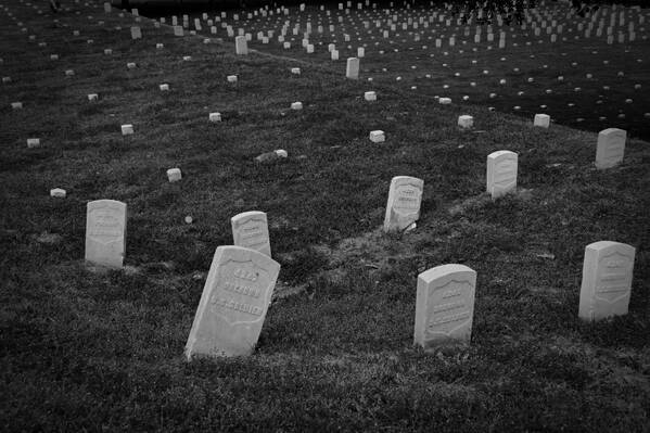







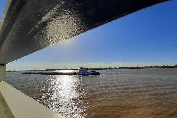
At 2,340 miles the Mississippi is the second longest river in North America, surpassed only by the Missouri, which itself drains into the Mississippi. From its source at Lake Itasca, MN, it wends its way slowly south, bordering or passing through ten different states, until it discharges into the Gulf of Mexico south of New Orleans. Altogether, through its many tributaries, its watershed drains 32 US states and 2 Canadian provinces
Politically and culturally it forms the boundary between the Eastern United States and the Western United States. In part this is because under the Treaty of Paris (1783) which ended the American War of Independence, the Mississippi River marked the western boundary of the territory Great Britain ceded to the United States. Although the Western part is geographically much larger, the Eastern part, with 26 of the 50 states and 58% of the total US population, is politically and economically more significant.
Politically and culturally it forms the boundary between the Eastern United States and the Western United States. In part this is because under the Treaty of Paris (1783) which ended the American War of Independence, the Mississippi River marked the western boundary of the territory Great Britain ceded to the United States. Although the Western part is geographically much larger, the Eastern part, with 26 of the 50 states and 58% of the total US population, is politically and economically more significant.